Are you a journalist? Please sign up here for our press releases
Subscribe to our monthly newsletter:
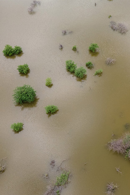
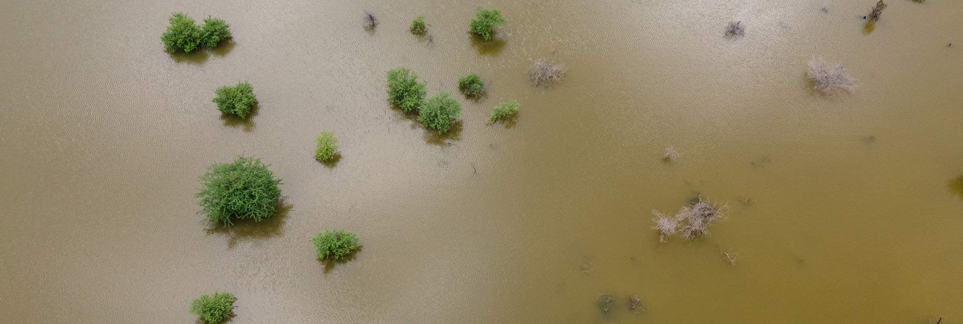
In 2018, in the Indian state of Kerala, more than 400 people died in a single series of floods that displaced millions. Flooding is a regular feature of the yearly monsoon season in tropical Asia, but until now it has been difficult to predict how and when the normally heavy monsoon rainfall would ratchet up into a nightmare event of severe flooding. New research by a Weizmann Institute of Science research group may broaden the forecast window by pointing to an event – surprisingly, the arrival of dry air – that may presage extra-strong rains.
Dr. Shira Raveh-Rubin of Weizmann’s Earth and Planetary Sciences Department led the study together with postdoctoral fellow Dr. Deepika Rai. Their results appeared in npj Climate and Atmospheric Science.

The monsoon rains that pelt the Indian subcontinent from July to September are multifaceted phenomena, complicated by a combination of numerous factors, including global jet streams that shift and tilt. The Weizmann study has identified a previously unknown complicating factor: a subtype of airstream known as a dry intrusion.
As their name implies, these airstreams are made up of dry air, but air that is also very cold, especially in comparison with the steamy wet air of a monsoon downpour. It had been assumed, somewhat reasonably, that dry intrusions – which sink down in the troposphere, the lowest layer of Earth’s atmosphere – were responsible for monsoon breaks, short dryish spells in the rainy season.
The dry air of the intrusions acts like a kind of sponge. The larger the moisture gap between them and the ocean surface, the more water they will soak up
Dry intrusions that cross the equator from the south to the north are only known to occur around the Indian subcontinent. Raveh-Rubin and Rai looked at the data for 40 years of dry intrusions in this part of the world – 137 recorded instances between 1979 and 2018 – and compared them with precipitation records from around the same time. Surprisingly, they found that these dry intrusions were not followed by dry weather, but rather by an increase in rainfall – of 17 percent, on average, and in some cases, of over 100 percent.

“How exactly does dry air produce more rain?” asked Raveh-Rubin. To understand what was happening, the two researchers applied a model taken from mechanical physics that involves monitoring the stats of moving “packets” of air as they change in temperature, location and water content. With this tracking they were able to see an increase in total water and to explain its cause. The dry air of the intrusions over the Indian Ocean acts like a kind of sponge. The larger the moisture gap between the ocean surface and these packets of dry air, the more water they will soak up from the ocean, transporting that water northward toward India’s west coast on the Arabian Sea.
While similar studies have used this model to understand the patterns of rainfall and breaks in the monsoon season, they hadn’t examined the particular dry intrusions flowing over the equator, which behave differently than their overland counterparts. That is why, says Raveh-Rubin, they had assumed that this phenomenon brings dryer, rather than wetter, weather. “In essence, this is an instance of the Southern Hemisphere’s winter breaking into the northern half’s summer,” she says.
Raveh-Rubin thinks this mechanism has been overlooked until now, in part, because monsoon dynamics tend to include mechanisms that operate on longer time scales – months or years – as well as slower phenomena such as the rise in sea water surface temperatures, while the dynamics of dry intrusions take place on the scale of days or weeks.
 in the days following dry intrusion events. Based on satellite data for the past 40 years")
For Raveh-Rubin and her group, the science of dry intrusions is neither dry nor intrusive. It is, to her, a palpable connection between abstract physics and reality. “It’s not just a simplified theory. You can see it in real life, and in the data, and you can see it with your own eyes when you go outside,” she says. The added possibility of providing accurate flood warnings in places like India and Bangladesh, where millions live on the flood plains, is the pot of gold at the end of the rainbow. She believes that dry intrusion monitoring – a capability that exists today – could significantly improve the forecasting of specific peaks in rainfall that might lead to flooding. In particular, advance warnings of such extreme weather events could be extended from a day or two to about a week, enabling proper preparation and, if needed, evacuation, potentially saving hundreds if not thousands of lives.
Raveh-Rubin and her group intend to continue studying the effects of dry intrusions on the Asian monsoons and refining their model. Among other things, they want to know how and why these patterns form in this way. The group also intends to examine the occurrence of dry intrusions worldwide, searching for similar effects in other places. By doing this, they hope to improve our ability to predict heavier rains and more severe flooding in the future.

India’s summer monsoon affects the lives of over 1/6 of the world’s population; it usually lasts from June to September – roughly 1/3 of the year – and includes, on average, 3 or 4 major dry intrusions from the Southern Hemisphere. The summer monsoon accounts for roughly 80% of India’s annual precipitation, producing an immense effect on agriculture and water resources.
Dr. Shira Raveh-Rubin's research is supported by the Maggie Kaplan Research Fund.